Improving our knowledge of marine waters in the Southern inshore zone
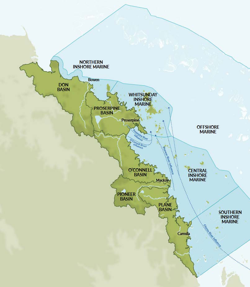
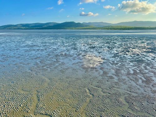
The Southern Inshore Marine Zone extends from Cape Palmerston, south of Sarina, to Clairview Bluff and is one of four inshore marine zones included in the Report Card. The Southern Inshore Marine Zone is considered an important habitat for protected dugongs and green sea turtles which graze on seagrass beds found throughout the zone.
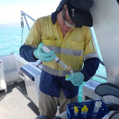
From 2014 to 2017 there was no data available for the Southern Inshore Marine Zone and the Partnership worked to establish a monitoring program as a priority to collect data on seagrass, coral and water quality including pesticides.
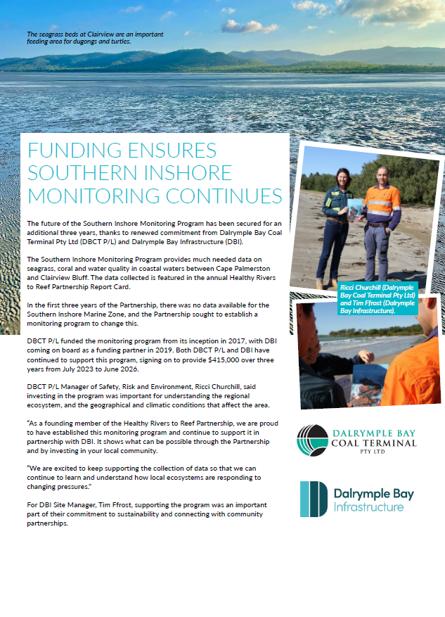
Our partner, Dalrymple Bay Coal Terminal Pty Ltd (DBCT P/L) funded the program in its entirety between 2017 and 2019, with Dalrymple Bay Infrastructure coming on board as a funding partner in 2019. Both DBCT P/L and DBI recently signed on to continue funding the project, securing the data collection until at least 2026. Their strong commitment to the program will ensure our understanding of waterway health in the Mackay-Whitsunday-Isaac Region continues to grow.
KEY FINDINGS
With continued investment from both DBCT P/L and DBI, the Southern Inshore Monitoring Program is now well established with all indicators assessed across multiple years. We’ve summarised the key findings about coral, seagrass and water quality from the program to date in our Community Summary. More scientific detail about these findings is available in the Southern Inshore Monitoring Program Technical Report 2017-22.
LATEST RESULTS
The 2025 Report Card grade for the Southern Inshore Marine Zone
(released in July 2025, based on data collected June 2023 and July 2024)
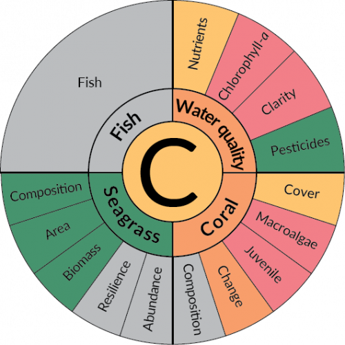

Water quality
- In the Southern Zone, nutrients improved from very poor to moderate, which resulted in the largest water quality score increase of all the inshore zones.
- Water clarity remained very poor for the seventh year in a row. This pattern is likely driven by the geophysical differences in this zone, where the proximity to silt-laden shallows and the large tidal range accompanied by strong currents often causes sediment to become resuspended in the water column.
Coral
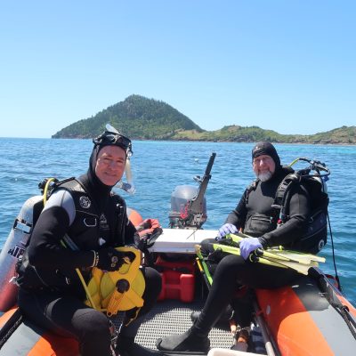
- Coral cover increased despite a severe bleaching event in early 2024 where 3% of corals were bleached, in comparison to 41% of corals bleached during a similar heat stress event in 2020. This may indicate that the coral that survived previous bleaching events represents a hardier population more tolerant to heat waves.
- Resilience of these ecologically isolated coral communities continues to be challenged by high cover of macroalgae and low density of juvenile hard corals, where persistent algae cover impedes hard coral recruitment.
Seagrass
- Southern Inshore is the highest scoring zone for seagrass, and the only zone to score very good this year. This was due to the biomass indicator improving from good to very good, bringing the overall seagrass grade up to very good.
- Read our feature on seagrass for more information.
THE DATA
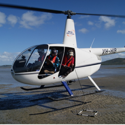
We work with a number of researchers including James Cook University’s TropWATER, Australian Institute of Marine Science and University of Queensland (Queensland Alliance for Environmental Health Sciences) to collect and analyse data for the Southern Inshore Monitoring Program.
Each data provider publishes an annual report of their findings which you can access below.
