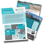
 Regional update reveals state of Whitsundays, post Cyclone Debbie
View the feature here.
What does the Whitsunday region look like after Cyclone Debbie?
The Mackay-Whitsunday Healthy Rivers to Reef Partnership has launched the first collective post-cyclone regional update for the state of the Whitsundays.

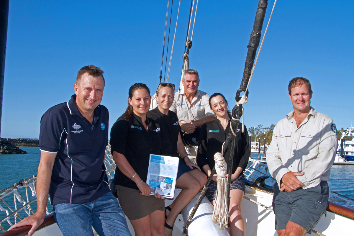
All aboard the Solway Lass, Abell Point Marina, Airlie Beach. Left to right, Geoff Carlin (Research Scientist, CSIRO Oceans and Atmosphere), Alysha Sozou (Technical Officer, Mackay-Whitsunday Healthy Rivers to Reef Partnership), Olivia Brodhurst (Project Officer, Reef Catchments), Al Grundy (Chair of Tourism Whitsundays), Charlie Morgan (Executive Officer, Mackay-Whitsunday Healthy Rivers to Reef Partnership) and Craig Boxer (Senior Ranger, Queensland Parks and Wildlife Service).
From river restoration and coral flipping, to tourism, and a 1902 ship equipped with state of the art monitoring equipment – the document focuses on the environmental and social impact of the cyclone, and the action that has since taken place.
“We are so excited to be able to help tell the recovery story of the Whitsunday region,” said Partnership Executive Officer, Charlie Morgan.
“The region has banded together since Cyclone Debbie and made real headway”.
“The feature highlights the many recovery projects that are underway and completed in the Whitsundays. It also considers the state of the environment and the push from local operators for an even more agile response to natural disasters in the future.”
The release looks primarily at the natural environment from the upper catchments to the marine environment, tourism and agricultural sectors, with input from the scientific community.
Ms Morgan said the natural environment and tourism were intricately connected.
“Loss and destruction of our beautiful natural sites, including the Great Barrier Reef, impact many sectors, but particularly tourism – one of the lifeblood industries of the Whitsundays,” she said.
“During the recovery phase, the tourism sector has worked hand-in-hand with conservation, science and research groups.”
Information was provided by a wide range of organisations including Tourism Whitsundays, Queensland Parks and Wildlife Services (QPWS), CSIRO, Great Barrier Reef Marine Park Authority (GBRMPA), Reef Check Australia and Reef Catchments.
Craig Boxer, Senior Ranger from QPWS, said since Debbie, there had been a concerted regional effort to ensure QPWS visitor facilities/infrastructure were back and operational to a high standard ensuring the best visitor experience to the Whitsunday’s.
Some key points from the feature include:
In some fringing reefs around the Whitsunday Islands, between 50-100% of hard coral was lost. This includes in Blue Pearl Bay, a popular diving and snorkelling site. In more sheltered areas reefs remain largely unscathed. Alternate dive and snorkel sites have been established to reflect current conditions.
Activities to help restore and repair coral have included flipping and re-righting coral; reinstating coral bommies (coral ‘boulders’ or reef structures) at the devastated Mantaray Bay; 45 new Reef Protection Markers to ID ‘no anchoring’ areas – this lifted number of protected fringing reef sites from 13 to 22; and the scoping of a potential new coral nursery.
Tourism repair operations are well underway. Tourism operators were excited to see the recent completion of a new walk on South Whitehaven Beach, delivering a spectacular scenic vista. There is also a new walking track to Whitsunday Craig and short walks established to viewing points at popular bays (on Langford, Haslewood and Border Islands) to aid tourism recovery.
The Solway Lass (a two masted schooner built in 1902 that now operates as a tourist vessel) has had state of the art monitoring equipment installed. A research team can now monitor water quality and atmospheric parameters, highlighting changes as they happen. This is a coordinated research project between CSIRO and Tourism Whitsundays.
Disaster recovery funds to the Whitsundays have come primarily from the Natural Disaster Relief and Recovery Arrangements, a joint funding initiative of the federal and state governments.


