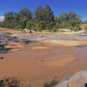
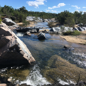
The Don River Basin is the northern most extent of the report card area, and covers 3,736 km2. It is home to the Don River, which flows to the west of Proserpine and empties into the Great Barrier Reef World Heritage Area north of Bowen.
Approximately 4.7% of the basin by land area is part of a wetland system. Of this, 53% is estuarine , 16% is palustrine, 27.8% is riverine in nature and 3% is artificial or highly modified in nature. Over 80% of the basin is used for grazing, whilst 7 % is used for horticulture and only 1% for sugarcane. National Park and/or State forests occupy areas in the South-West (inland) area of the basin, as well as the Cape Upstart area.
Within the basin 43 species of animal/plant are endemic to Queensland, whilst 26 species of plant/animal are rare or threatened, including the black-throated finch and the northern quoll.
The Don Basin includes the urban areas of Bowen and Merinda and the Port of Abbot Point. The area crosses two Local Government Areas: Burdekin to the north and Whitsunday to the south.
Area
3,736 km2
Main town
Bowen
Land use
Mixture- overwhelmingly grazing, with horticulture and a small amount of sugar cane.
Major river
Don
Wetland area
326 km2
Biodiversity
1320 native spp/vagrants, 43 qld endemic spp, 26 rare or threatened species