Social survey reveals what people really think about our waterways
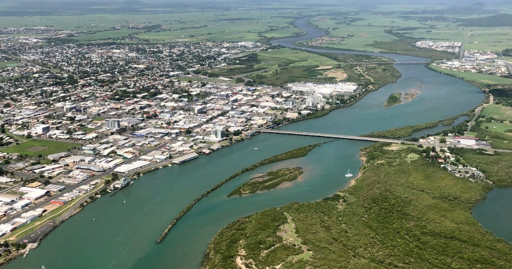
Healthy waterways are a key part of our lifestyles and livelihoods in Queensland. In the Mackay-Whitsunday-Isaac region we are lucky to have beautiful beaches on our doorstep, as well as wetlands and rivers that support both recreational activities and the economy.
In December 2021, we conducted a survey with the help of CSIRO and the five other Regional Report Card Partnerships to quantify the social, cultural and economic values of our waterways for the first time.
A total of 1,877 residents were surveyed across the five regional report card regions, spanning the Great Barrier Reef catchments between Gladstone and Cooktown, collecting information about the uses, benefits and values of waterways, as well as perceptions of threats, stewardship and governance.
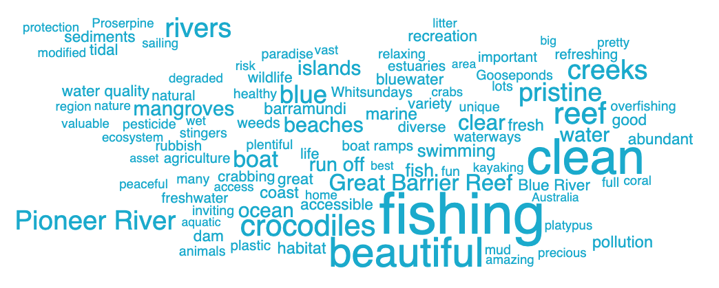
The social surveys revealed some interesting results about the social values of our waterways.
Executive Officer for the Mackay-Whitsunday-Isaac Healthy Rivers to Reef Partnership, Dr Bonny Stutsel, said the results revealed that the region’s waterways are one of the key drivers of people choosing to live in the region.
“In our survey responses, it was encouraging to see that 83 per cent of people said that waterways in the Mackay-Whitsunday-Isaac region were an important part of why they choose to live here.
“Additionally, 90 per cent of respondents said visiting their local waterway was important to their quality of life and wellbeing.
“Seeing these responses reinforces how vital it is to care for our waterways, not just for the environmental benefits, but because of their value to the community.”

Perhaps unsurprisingly to residents, fishing ranked as the most popular recreational activity occurring in the region’s waterways, with more than half of respondents stating they went fishing in the previous 12 months.
Dr Matt Curnock from the CSIRO said the new data complements existing datasets from the Social and Economic Long-Term Monitoring Program (SELTMP) that largely focus on the Great Barrier Reef.
“This new information fills an important knowledge gap around how people use, value and perceive waterways in the Great Barrier Reef catchments. It also contributes directly to the objectives in the Reef 2050 Long-Term Sustainability Plan.”
Chair of the Healthy Rivers to Reef Partnership, Julie Boyd, said that the information will be used by the partnership to better understand human drivers of waterway health and engage the community in a more informed and purposeful way.
“The survey results provide an insight into what the community thinks about our waterways, and their level of understanding of the pressures and influences of waterway health. We’ll use this information to tailor community engagement programs and measure changes in perceptions over time.”
A dashboard has been created to explore the data from the project.
This project is funded by the partnership between the Australian Government’s Reef Trust and the Great Barrier Reef Foundation, and is being delivered in partnership with CSIRO, the Great Barrier Reef Marine Park Authority, and the Queensland Government’s Reef Water Quality Program.
This module of work was made possible with in-kind support and co-investment from the Office of the Great Barrier Reef, and the five Regional Report Card Partnerships in the Great Barrier Reef catchment region:


