2021 Report Card to Shed Light on Seagrass Health
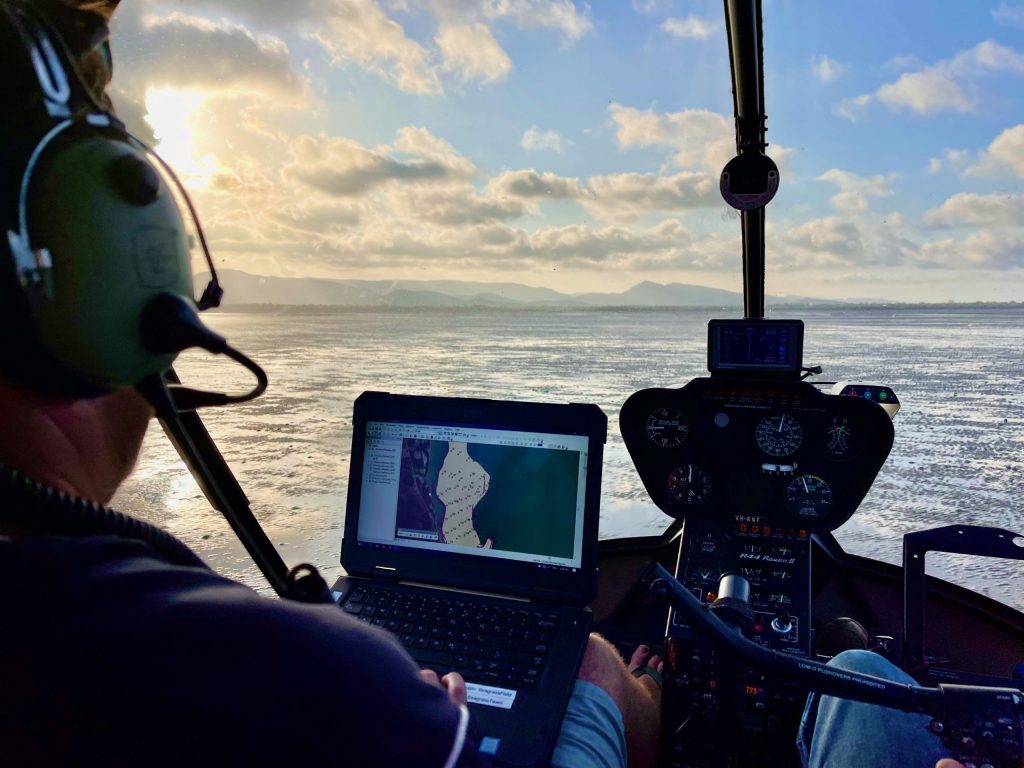
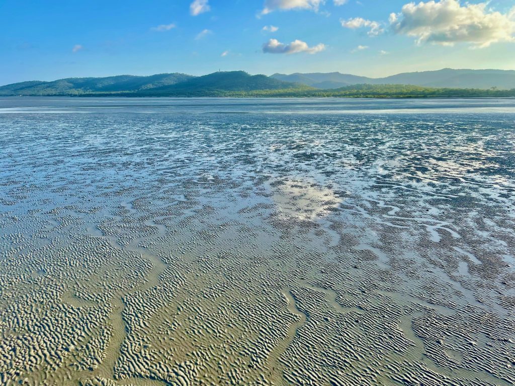
Seagrass along our coastline near Clairview will be reported on for the first time this year after five years of data collection, helping us better understand the health of our marine inshore waters in the Isaac region.
Due for release in August 2022, the 2021 Regional Waterway Report Card will grade the condition of seagrass in between Cape Palmerston and Clairview Bluff – an area that provides vital food and habitat for green sea turtles and dugongs.
The grades will be based on data collected as part of the Southern Inshore Monitoring Program, funded by Dalrymple Bay Coal Terminal Pty Ltd (DBCT P/L) and Dalrymple Bay Infrastructure (DBI).

Healthy Rivers to Reef Partnership Executive Officer Dr Bonny Stutsel said the inclusion of southern seagrass scores this year is an important milestone for the report card and the partnership.
“Prior to 2017, we had little data for the southern inshore zone. It was one of our major data gaps preventing us from providing a comprehensive and reliable assessment of coastal waterways from Cape Palmerston to Clairview.
“Having DBCT and DBI come on board and fund this monitoring program has allowed us to steadily improve our reporting over the past five years, with water quality, coral, and pesticide data all introduced into the report card for this zone.
“With seagrass, we needed to collect data for five years to determine a baseline condition of the seagrass before including it in the report card, so it’s exciting that we are now finally able to do so.
“Monitoring programs such as this one are so important for protecting and preserving our waterways because we can’t implement effective management actions without first understanding current waterway conditions.” – Dr Bonny Stutsel.
DBCT P/L Manager of Safety, Risk and Environment, Ricci Churchill said the Southern Inshore Monitoring Program is a prime example of how the partnership can work together to better understand regional waterway health and invest in projects where they are needed most.
“At DBCT, we recognise our unique location and proximity to the Great Barrier Reef and want to make sure we protect and monitor the environment in which we operate.”
“We are very proud to continue to fund this monitoring project as part of the Healthy Rivers to Reef Partnership, providing vital data about the condition of our marine waters.
“By being a partner of Healthy Rivers to Reef and supporting this data collection, we hope to inspire others to join us and help drive positive change for waterways in our region.” – Ricci Churchill, DBCT P/L
DBI Site Manager, Tim Frost said the Southern Inshore Monitoring Program is an opportunity for Dalrymple Bay Terminal to partner and understand regional waterway health to better invest in future projects.
“Dalrymple Bay Terminal’s location within the Great Barrier Reef World Heritage Area brings with it a responsibility to understand, protect and monitor unique ecosystems in which DBT operates. DBI and DBCT P/L are proud to continue this monitoring project as part of the Healthy Rivers to Reef Partnership.”

Southern Inshore Marine Zone – Report Card Timeline
2014 – 2017: No data available. Partners identified finding a funding source a priority.
2017: Southern Inshore Monitoring Program starts with funding from DBCT P/L.
2018: Water quality scores included in the report card for the first time.
2019: Coral and pesticides scores reported for the first time. Project now funded by DBCT P/L and DBI.
2022: Seagrass scores included in the report card for the first time.


