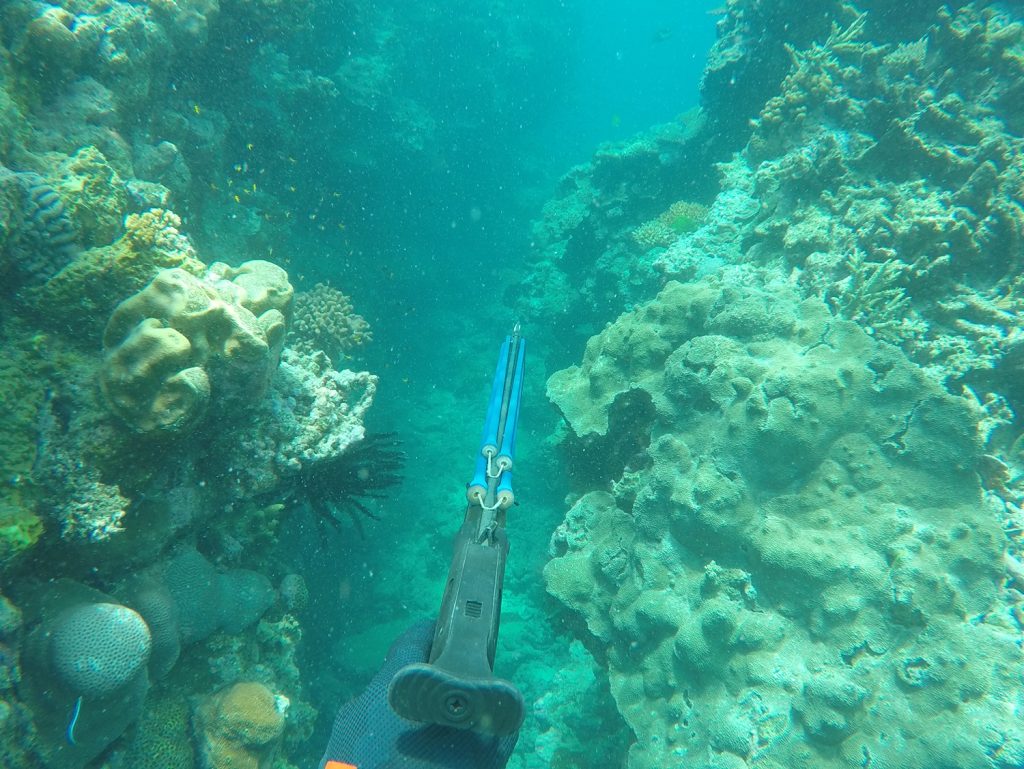
 Our beautiful Whitsunday inshore areas provide some excellent spearfishing opportunities however there are a number of restrictions on where spearing is allowed. Now both visitors and residents will be able to clearly see where they can and can’t spearfish thanks to a new map which combines all the rules.
The new flyer was produced by the Great Barrier Reef Marine Park Authority and Queensland Parks and Wildlife Service in response to requests from the community and includes a map that combines all the rules to simply show what areas are open and closed to spearfishing. The Partnership’s own Executive Officer was keen to make the map a reality and strongly supported the the issue when it was originally raised via the Whitsunday Marine Advisory Committee.
She said “I’m just glad to see all the regulations on one map and have been wanting to see this for a while. There are some stunning areas to enjoy spearfishing in the Whitsundays and now we can provide a resource to residents and visitors alike which makes things easier in choosing a good spot. Thanks so much to GBRMPA and QWPS for making this happen. The inshore Whitsundays has been hit hard by Cyclone Debbie so in addition to using the map to select a good spot to fish, I would encourage fellow spearfishers to leave the plant-eating fish like parrotfish alone and let them get on with the job of keeping macroalgae levels down on disturbed reefs, which gives reefs a better chance at recovery.”
Further information can be found on GBRMPA’s website.


